PhotoGPS
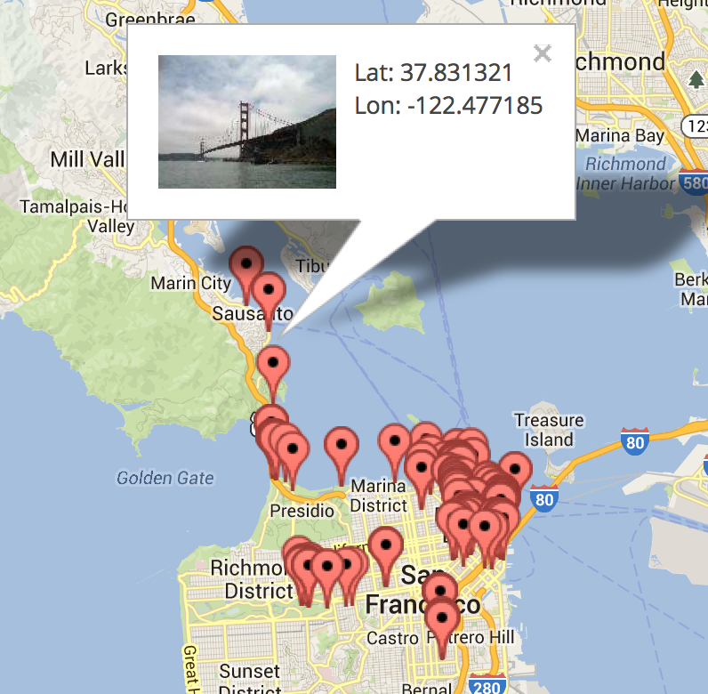
PhotoGPS is a simple and fast web app you can use to instantly plot your photos on Google Maps, based on where they were taken. Simply drag-n-drop your photos into the web page to instantly plot them on Google Maps using GPS Exif data via FileReader API.
Read more about how I built it in this blog post.
- - -